Current models operate at 1–10 km resolution. A child's walk to school passes through canyons, junctions, bus stops — each with different NO₂ levels.
Annual-average maps miss the hourly dynamics: rush-hour peaks, weekend dips, weather-driven episodes.
Resolution needed to resolve
street canyons & traffic corridors
First-principles meteorology & chemistry
1 km resolution · 64 CPU cores
Teaches the AI what physics looks like
Super-resolves to 25 m street level
1 GPU · seconds per prediction
Deployed on cloud or edge
NO₂ · O₃ · PM₂.₅
25 m across Greater Manchester
On-demand, anytime
The physics model teaches — the AI generalises — the city breathes at street level
WRF-Chem 3-domain nested runs
64 cores · 2–3 h/day
1 km output fields
met + chem + aerosol
Low-res WRF fields → 25 m surrogate truth
Cloud GPU (A100) · weeks
Physics-informed loss
Advection & dispersion constraints
On-demand 25 m predictions
1 GPU · seconds
WRF coarse as conditional input
Hourly NO₂, O₃, PM₂.₅
Key insight: the diffusion model doesn't replace physics — it compresses it. Every prediction is traceable back to a WRF-Chem simulation.
Agent-based simulation of vehicle movements at 25 m resolution
Translating vehicle activity into NOₓ emissions
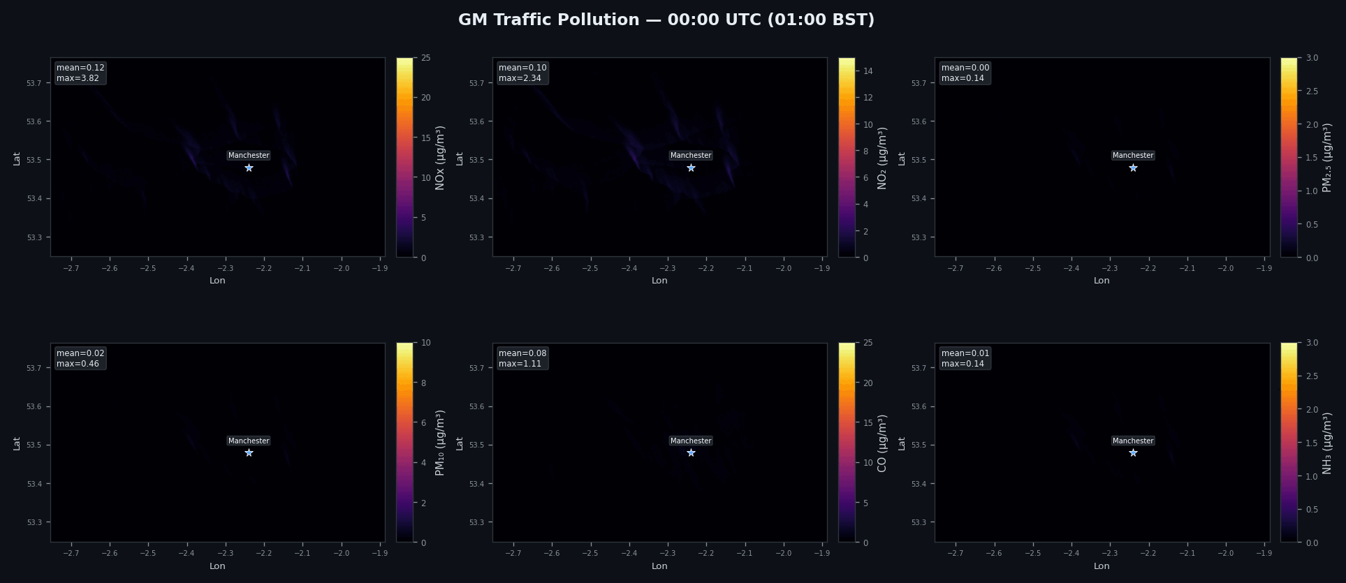
Physics-informed diffusion mapping 1 km WRF-Chem to 25 m NO₂ concentrations
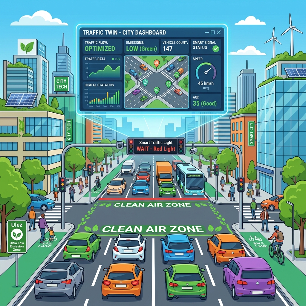
Test Clean Air Zone scenarios, speed limits, and Low Traffic Neighbourhoods (LTNs) — see NO₂ changes at every junction in seconds.

Map hourly PM₂.₅ at school gates across Manchester. Identify high-exposure drop-off times and safer walking routes

Epidemiological studies need exposure at where people actually are, not at the nearest 10 km grid point. 25 m changes everything

Greater Manchester moves from estimating exposure to knowing it
Questions & discussion welcome